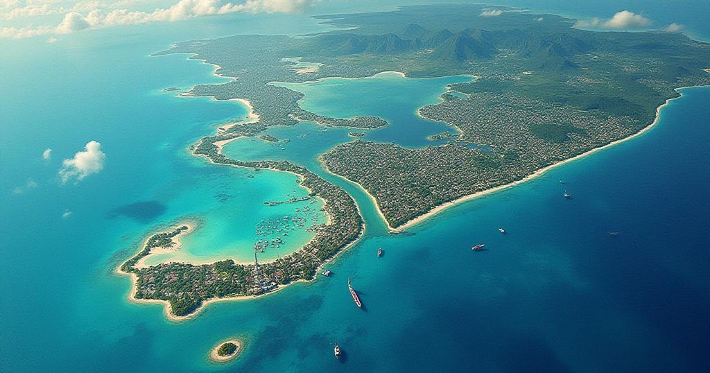
The year 2024 has brought alarming records in climate change, with the hottest temperatures logged in 175 years and extreme weather events like early hurricanes. Satellite data reveal devastating impacts on coastal communities from rising sea levels and intensified storms, indicating urgent action is necessary to confront these challenges and build resilience against climate change.
The year 2024 marked a significant turning point in global climate patterns, characterized by unprecedented temperature records and extreme weather events. In July, the Earth’s average temperature escalated to the highest level recorded in over 175 years, culminating in July 22 becoming the hottest day on record. This summer has been documented as the hottest since approximately 1880, coinciding with the early arrival of hurricane season, which witnessed Hurricane Beryl, the earliest Category 4 hurricane ever recorded. Conversely, South Africa experienced record-breaking rainfall and atypical winter storms, some of which included snowfall. A June report further corroborated concerns regarding human-driven climate change, proclaiming that the current rates of global warming have reached alarming levels. As reported by Space.com, the phenomena associated with climate change are inducing rapid melting of glaciers, thereby contributing to rising sea levels that endanger coastal communities and disrupt animal habitats. Recent hurricanes, including Hurricane Helene and Hurricane Milton, inflicted destruction across various regions, highlighting the amplified intensity of storms as a direct consequence of climate change. In South Africa, both eastern and western coasts are experiencing increasingly severe weather patterns marked by a troubling cycle of floods and droughts. NASA and other space agencies are leveraging advanced climate satellites to monitor the drastic effects of climate change on atmospheric and oceanic conditions. Utilizing satellite gravimetry—a method capable of accurately gauging ice mass loss and shifts in groundwater—scientists are becoming acutely aware of the escalating threats to coastal communities globally. According to Cedric David, a scientist at NASA’s Jet Propulsion Laboratory, “Satellites can see what we cannot with our own eyes: changes in deep underground water storage that would require us to dig deep in the ground to witness firsthand. That’s just mind-blowing.” Experts have long warned of the dangers posed by rising sea levels. The Intergovernmental Panel on Climate Change has projected that sea levels could rise by 0.43 to 0.85 meters by 2100—a seemingly modest increase that could yield catastrophic results for coastal regions. Scientists are optimistic that the data collected from climate satellites will serve as critical evidence to sway policymakers towards implementing necessary measures for pollution reduction and climate change mitigation. David also emphasized, “We’ve had a series of radar altimetry satellites circling around our Earth in constant operation since 1992 that have allowed us to see the undeniable: Oceans are in constant rise. The 30-year-long curves of sea level rise are unquestionable evidence that our climate is changing.” It is recommended that residents in coastal areas take proactive measures to bolster their homes against the impending threats of climate change and extreme weather events.
The article discusses the alarming trends observed in global climate change, particularly emphasizing the consequences of rising temperatures, extreme weather events, and rising sea levels. It highlights the year 2024 as a record-setting year in various aspects, including the hottest day on record and the early onset of hurricane season. Additionally, it notes the role of NASA and other space agencies in employing satellite technology to track the impacts of climate change, the responses of coastal communities to these changes, and the essential need for strategic measures to prevent catastrophic results from rising sea levels.
In conclusion, the escalating effects of climate change, highlighted by unprecedented temperature records, intensified hurricanes, and rising sea levels, pose significant threats to coastal towns and ecosystems worldwide. The utilization of satellite technology provides crucial insights into these changes, reinforcing the urgent need for climate action and community preparedness against extreme weather events. Scientists are hopeful that the data obtained will influence crucial policy decisions aimed at mitigating the impacts of climate change and protecting vulnerable areas.
Original Source: www.2oceansvibe.com


