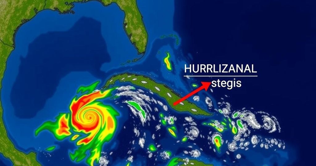
The article assesses the potential for a tropical depression to form from a disturbance in the southern Caribbean, with a focus on the low likelihood of significant impacts on Florida during November, historically the quietest month of the hurricane season.
Typically, November represents the calmest and concluding month of the hurricane season in the continental United States, with just fourteen recorded tropical storms or hurricane landfalls since 1851. Historically, the month has seen a few more landfalls than May, which is not officially included in the hurricane season. However, despite the generally low odds of a significant tropical impact this month, a disturbance in the southern Caribbean has the potential to evolve into a tropical depression by early next week and may approach the southern Gulf of Mexico later in the week. Current meteorological developments include intermittent thunderstorm activity in the south-central Caribbean, which has intensified as we enter an active phase for tropical development. The National Hurricane Center (NHC) predicts a high likelihood of further development over the coming week as low-level winds become better organized and wind shear diminishes. As the disturbance evolves, it could very well form a tropical depression by early next week, likely south of Jamaica. A strong high-pressure system in the upper atmosphere is expected to steer the disturbance towards western Cuba and the Yucatan Peninsula while moving over warm waters conducive to tropical development. If these conditions align favorably, there exists a possibility for the disturbance to develop into a hurricane later in the week. As the disturbance enters the Gulf of Mexico, its trajectory will depend on the interplay between a potential cold front moving southward from the Midwest and the existing Southeast ridge. Most forecasts suggest the disturbance will move westward, while a lesser number of models propose a potential northeast turn towards Florida later in the week. Nevertheless, the probability of a Florida landfall remains low due to several factors. Historically, November hurricanes are rare, as cooler sea surface temperatures, harsh upper-level winds, and the encroachment of dry air hinder development into the U.S. A significant threat would require the tropical system to rapidly traverse the Gulf without succumbing to these challenging conditions. In sum, despite a disturbance that is closely monitored, the current risk of landfall in Florida remains minimal. Future developments will be closely scrutinized, but for now, there is no immediate cause for alarm regarding the potential hurricane threat.
The context of this article lies within the broader scope of the hurricane season, which typically runs from June 1 to November 30. Though November is the final month, it is characterized by notably lower activity compared to earlier months in the season. The article discusses a specific meteorological disturbance in the Caribbean and evaluates the likelihood that it will intensify and approach U.S. land, particularly focusing on Florida. It integrates meteorological patterns and historical trends to provide an informed perspective on the situation at hand.
In conclusion, while there is a disturbance in the Caribbean that could potentially develop into a tropical depression and even a hurricane, current predictions suggest that the odds of significant impact on Florida remain low. November hurricanes are historically rare due to unfavorable environmental conditions, and while one must remain vigilant, the situation appears manageable for the time being.
Original Source: www.tallahassee.com


