The National Hurricane Center is monitoring three weather areas in the Caribbean and Atlantic for potential tropical storm development, with a 70 percent chance for one system likely to evolve into Tropical Storm Patty in the coming days. Rainfall is expected across several islands, but the threat to Florida appears minimal due to adverse environmental conditions.
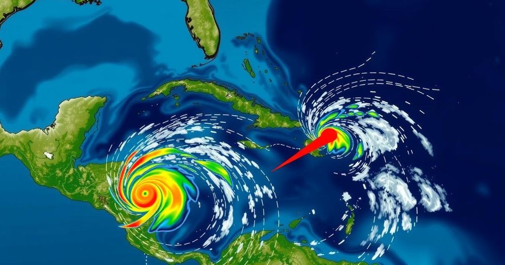
The National Hurricane Center (NHC) has identified three areas in the Caribbean and Atlantic with the potential to evolve into tropical storm systems. Specifically, forecasters are monitoring a low-pressure zone situated in the southwestern Caribbean, which carries a 30 percent likelihood of development in the next two days, and a 70 percent chance over the subsequent week. Predictions suggest that this area could form into Tropical Storm Patty, anticipated to occur late this weekend or early next week as it drifts northward or northwestward across the Caribbean. In addition to this primary system, the NHC is also tracking another trough of low pressure located in the northeastern Caribbean close to Puerto Rico. This trough is currently generating considerable showers and thunderstorms throughout the Greater Antilles and adjacent waters. As this weather feature migrates west-northwest, it may interact with the initial system, potentially leading to slow development. Meteorologists expect that irrespective of whether the systems fully develop, there will be significant rainfall across the northern Leeward Islands, Puerto Rico, Hispaniola, eastern Cuba, and the southeastern Bahamas over the next few days. Experts from meteorological agencies have expressed caution regarding the systems’ probability of intensifying as they enter the Gulf of Mexico, noting that cooler waters in that region could hinder development further. Compounding this, high wind shear and drier atmospheric conditions in the Gulf are expected to impact any potential storms. Local meteorologists have posited that while a new storm formation may be on the horizon, the overall risk level is markedly lower compared to previous storms. The likelihood of significant hurricane impacts on Florida seems minimal; meteorologists predict that any formed systems will likely proceed westward towards the northern Gulf coast as diminished storms. Additionally, the NHC reports a non-tropical low-pressure system situated about 400 miles west of the Azores, which may also develop subtropical characteristics as it drifts eastward. The chances of subtropical development for this system are estimated at 10 percent.
This article discusses the monitoring activities of the National Hurricane Center regarding potential tropical storm development in the Caribbean and the Atlantic. Each year, during the Atlantic hurricane season, meteorologists closely observe weather patterns that may lead to tropical storm formation, particularly in areas known for previous storm activity. The presence of low-pressure zones, coupled with environmental factors such as warm water temperatures and atmospheric conditions, are pivotal in determining the strength and trajectory of these potential storms. As such, timely updates from meteorological agencies are crucial for public safety and preparedness as they provide insights into forecasted weather developments.
In summary, the National Hurricane Center is keeping an eye on three distinct areas in the Caribbean and Atlantic that may contribute to tropical storm activity. The potential for the first system to develop into Tropical Storm Patty is of particular note, with meteorologists anticipating that it will bring rain across several Caribbean regions. However, the overall threat to Florida and areas in the Gulf of Mexico appears to be reduced due to environmental factors that may inhibit the storms’ growth. The ongoing monitoring of these weather systems is essential given that even minor disturbances can evolve into significant weather events.
Original Source: patch.com


