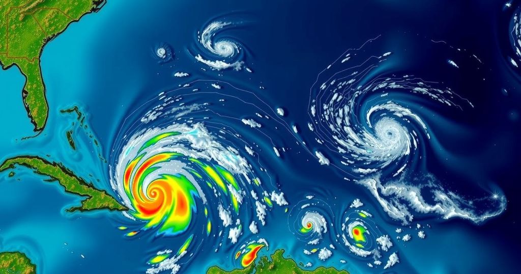
The National Hurricane Center has designated a significant area of low pressure in the western Caribbean as Potential Tropical Cyclone Eighteen (PTC18), which is likely to strengthen into a tropical storm later tonight or early Monday. A hurricane watch is issued for the Cayman Islands and a tropical storm warning for Jamaica. The system may affect the Gulf of Mexico mid-week, but its impact on the U.S. Gulf Coast remains uncertain due to environmental factors.
The National Hurricane Center has officially designated a broad area of low pressure in the western Caribbean as Potential Tropical Cyclone Eighteen (PTC18) as of Sunday afternoon. This system may gradually evolve into a tropical storm by late tonight or early Monday, with expectations of further strengthening as it progresses through the western Caribbean. The storm is anticipated to reach hurricane status by Wednesday as it moves toward the Gulf of Mexico. Residents of the Cayman Islands are currently under a Hurricane Watch, indicating that hurricane conditions may be possible within the next 48 hours. Additionally, a tropical storm warning has been issued for Jamaica, forecasting tropical storm conditions within the next 24 to 36 hours. The trajectory forecast for PTC18 suggests a slow drift to the northwest over the upcoming days, consequently bringing heavy rainfall to adjacent regions in the western Caribbean. There exists a chance that this system may enter the Gulf of Mexico by mid- to late week; however, there are factors such as wind shear, dry air, and decreasing Gulf water temperatures that could inhibit its organization and intensity as it moves northward. Residents are advised to monitor developments in the forecast until more definitive predictions materialize. In addition, the National Hurricane Center is observing another system which is a trough of low pressure located near Puerto Rico and Hispaniola. This system, while expected to cause local flooding rainfall in those regions in the ensuing days, has a low chance of developing into a tropical cyclone before merging with the broader Caribbean disturbance. Meanwhile, a third system that became Subtropical Storm Patty on Saturday is affecting the Northern Atlantic and is expected to generate gusty conditions for both the Azores and the Iberian Peninsula in the coming days. Historically, the western Caribbean has been a significant area for late-season tropical storm formation; however, the likelihood of such developments diminishes as the end of hurricane season approaches. Notably, the occurrence of named storms in November is relatively sparse, averaging a single storm every one to two years over the last decade. Last November saw no storm formations, while in 2022, hurricanes Martin and Nicole, along with storm Lisa, emerged during the same month, with Nicole making landfall in Florida as a Category 1 hurricane. Understanding these patterns will prove beneficial, particularly as residents in vulnerable areas prepare for the potential impacts of developing systems in this ongoing hurricane season.
The topic of late hurricane season development is significant as hurricane season typically concludes by the end of November. This period historically experiences sporadic storm formation, particularly in regions such as the western Caribbean. The National Hurricane Center provides updates and forecasts for systems in the Atlantic, guiding communities in preparation efforts as adverse weather conditions may arise. Past instances of storms forming during this time showcase the potential for impactful weather events, thereby underscoring the importance of vigilance and relevant meteorological information.
In summation, the emergence of Potential Tropical Cyclone Eighteen in the western Caribbean marks a critical point in the ongoing hurricane season. With hurricane and tropical storm warnings in effect for regions including the Cayman Islands and Jamaica, vigilance is paramount. The potential for subsequent storm developments remains, dependent on numerous environmental factors that could affect the systems’ strength and trajectory. As historically shown, November can yield powerful storms, necessitating continued monitoring and preparedness among impacted residents.
Original Source: weather.com


