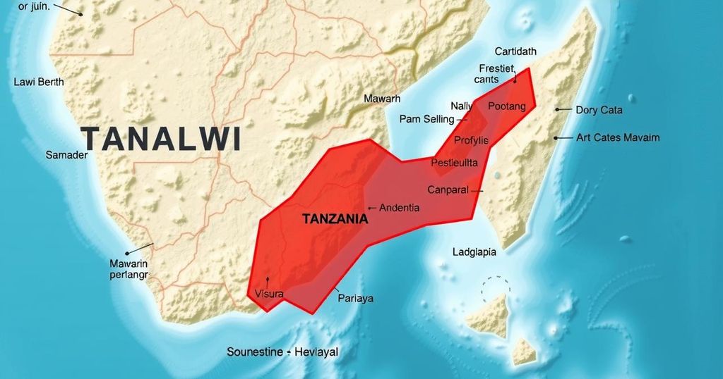
The Tanzanian Minister of Education has directed teachers to use an official map depicting the border with Malawi through the center of Lake Malawi. This decision stems from a longstanding border dispute and aims to reinforce national identity. Ongoing discussions between Tanzania and Malawi regarding the lake’s boundary continue, with officials from both sides hopeful for a peaceful resolution.
The Tanzanian Minister of Education has mandated that all educators utilize an official map prepared by Tanzania, which illustrates the boundary between Tanzania and Malawi on Lake Malawi, known as Lake Nyasa in Tanzania, to be traversing the center of the lake rather than adhering to the shoreline. This directive, articulated in a letter designated PA.211/229/02/88, requires educational institutions nationwide to strictly follow this official cartographic representation.
In the correspondence, it was asserted that Malawi’s use of Google Maps misrepresents the territorial division by depicting the entire lake as belonging solely to Malawi. The Tanzanian government emphasizes the need for the correct educational narrative regarding national borders. “We advise all teachers and students to use our official map, not the one found on Google,” the Ministry’s letter noted, urging educators to facilitate understanding among students regarding Tanzania’s position.
This development arises amidst ongoing discussions between Tanzania and Malawi regarding the lake’s boundary. Greson Msigwa, a spokesperson for the Tanzanian government, reiterated the commitment to maintaining amicable relations with Malawi during a press conference, affirming, “Discussions are still ongoing, and Tanzania maintains good relations with Malawi.”
The territorial dispute over Lake Malawi has historical roots, with both nations asserting their claims based on colonial-era agreements and 19th-century treaties, respectively. While Tanzania claims its border is centered in the lake based on historical agreements, Malawi asserts ownership of the entire body of water.
This educational directive indicates a strategic effort by Tanzania to reinforce national identity and sovereignty through the educational system. Teachers are now expected to integrate the official map into their teaching materials, thereby promoting national perspectives on the border dispute. The dialogue between both countries remains complex, yet officials have hoped for a peaceful resolution to the issue.
The ongoing border dispute between Tanzania and Malawi regarding Lake Malawi, also referred to as Lake Nyasa, has been a contentious topic for decades. This dispute was triggered by differing interpretations of historical agreements and colonial treaties. Tanzania asserts that the border should run through the center of the lake, while Malawi claims ownership of the entire lake based on historical treaties. This territorial disagreement has occasionally led to heightened tensions between the two nations, but it has not escalated to armed conflict. The issue has significant implications for national identity, as demonstrated by Tanzania’s recent directive to its educators.
The Tanzanian government’s initiative to instruct educators to utilize an official map depicting Lake Malawi as divided equitably between Tanzania and Malawi underscores its commitment to shaping national identity through education. While both nations continue to engage in discussions regarding the lake’s border, this directive reflects the complexities of historical disputes and emphasizes the importance of enduring diplomatic relations despite territorial disagreements.
Original Source: malawi24.com


