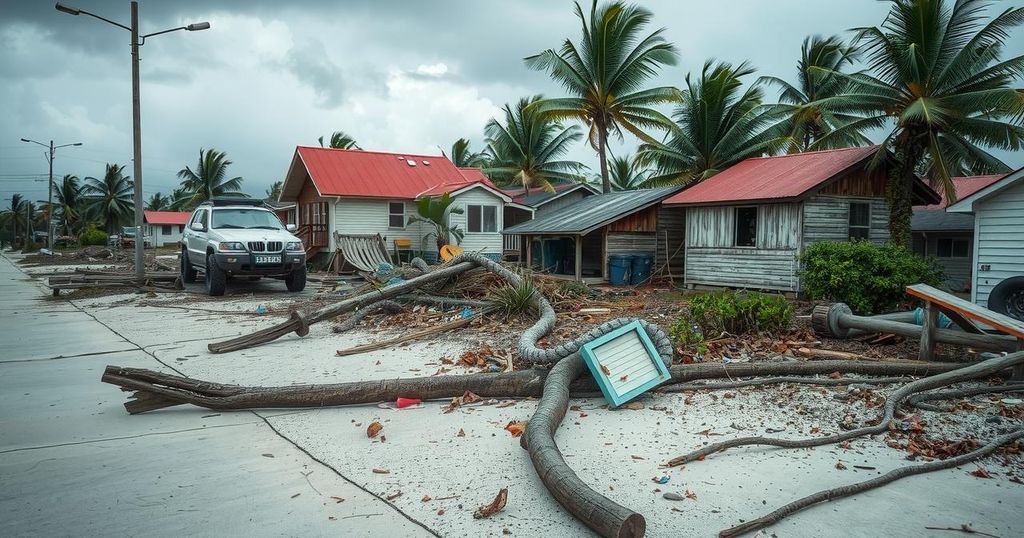
Cyclone Chido struck Mayotte on December 14, 2024, causing widespread destruction characterized by uprooted trees, damaged infrastructure, and significant threats to food security. Satellite images reveal a drastic change in the landscape, with ecological experts noting the specific vulnerabilities of the island’s topography to hurricanes. Recovery efforts are critical to restore community stability and infrastructure in the aftermath of this catastrophic event.
On December 14, 2024, Cyclone Chido unleashed its fury on the French territory of Mayotte, resulting in extensive destruction across the islands. Hurricane-force winds caused significant damage, ripping roofs from homes, downing power lines, and uprooting trees. In the aftermath, the lush green landscape transformed into a barren vista, with satellite imagery highlighting the stark contrasts before and after the cyclone’s landfall. Damage assessments reported that the hilltops surrounding the capital, Mamoudzou, were particularly affected, with vegetation suffering severe impacts.
Academic research underscores that tropical cyclones can drastically alter vegetation composition across various geographical areas, including the southwest Indian Ocean. Jess Zimmerman, an expert in ecological studies at the University of Puerto Rico, emphasized the vulnerability of trees situated on steep terrains and elevated regions to strong winds and torrential rains.
Reports indicate that Cyclone Chido led to the destruction of a 300-year-old baobab tree, severely damaging a local restaurant. The loss of agricultural resources such as banana trees poses a serious threat to the island’s food security. Additionally, critical infrastructure suffered during the cyclone, impacting the airport, hospitals, and roadways, leading to interruptions in electricity, water supply, and communication services. An assessment from the European Commission reveals the northeast region of Grande Terre experienced the worst damages.
The images captured by NASA’s Earth Observatory, utilizing data from Landsat, serve as a stark reminder of the cyclone’s impact. The need for recovery efforts to restore Mayotte’s community and infrastructure is pressing, as the islands face numerous challenges in the wake of this natural disaster.
Cyclones pose a significant threat to land areas, especially in tropical and subtropical regions. Their impact extends beyond immediate physical destruction, affecting ecosystems, food security, and infrastructure. Mayotte, located in the southwest Indian Ocean, has become more susceptible to such climatic phenomena. The effects of climate change have intensified the frequency and severity of cyclones, rendering regions like Mayotte vulnerable and highlighting the urgent need for effective disaster management and recovery efforts.
In summary, Cyclone Chido’s devastating impact on Mayotte has led to severe ecological, infrastructural, and humanitarian challenges. The transformation of the landscape, destruction of vital vegetation, and loss of vital resources underscore the cyclone’s magnitude. As recovery efforts begin, it is essential to address the immediate needs of the affected communities, while also examining long-term strategies to mitigate future cyclone impacts. Enhanced preparedness and resilience against climate-induced disasters remain crucial for the region.
Original Source: earthobservatory.nasa.gov


