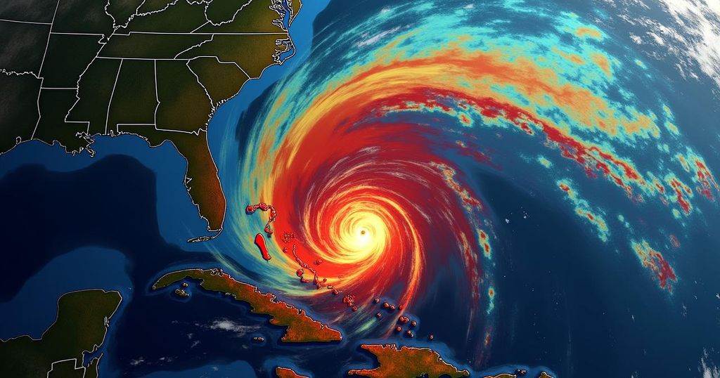
Hurricane Kirk is currently a Category 3 storm with maximum sustained winds of 120 mph, expected to strengthen to Category 4 within 24 hours. While it is moving over the Atlantic, impacts may be felt along the East Coast of the U.S. by Sunday. Additionally, Florida could experience heavy rain from a Gulf of Mexico system, regardless of its development into a tropical storm or hurricane.
Hurricane Kirk has attained major hurricane status in the central Atlantic, with maximum sustained winds reported at 120 mph, categorizing it as a Category 3 storm. The National Hurricane Center anticipates that Kirk will intensify into a Category 4 hurricane with 140-mph winds within the next 24 hours. Although currently projected to remain over the open waters of the Atlantic, potential impacts could extend towards the eastern coast of the United States by Sunday. As of the latest update, Hurricane Kirk is located approximately 1,185 miles east of the Northern Leeward Islands and 1,645 miles southwest of the Azores, moving northwest at a speed of 10 mph. While the intensity of Kirk temporarily plateaued, further strengthening is expected in the coming days. The hurricane’s forceful winds, extending outward up to 35 miles from its center, coupled with tropical-storm-force winds reaching 185 miles, could generate ocean swells across the central and western Atlantic. In tandem with Hurricane Kirk’s developments, Tropical Storm Leslie is also being monitored, with expectations of it becoming a hurricane. Concurrently, a separate system in the Gulf of Mexico is projected to cause heavy rain and potential flooding in Florida, regardless of whether it escalates into a tropical storm or hurricane.
Hurricane Kirk, now a major Category 3 hurricane, has been rapidly intensifying in the central Atlantic. The National Hurricane Center has reported its sustained winds increasing significantly over a short period, raising concerns for its evolution into a more formidable storm. This situation underscores the unpredictable nature of hurricanes and the importance of monitoring their paths and intensities. The impending threat not only poses risks for the immediate vicinity of the storm but also raises alarms for distant coastal regions, such as those along the eastern United States, which may feel the storm’s effects even from afar. Furthermore, the simultaneous monitoring of Tropical Storm Leslie and a potential system near the Gulf of Mexico highlights the active weather patterns occurring in the Atlantic Basin at this time.
In summary, Hurricane Kirk is expected to strengthen into a Category 4 hurricane, with implications potentially affecting the eastern coast of the United States by Sunday. Florida may experience heavy rainfall due to a separate system in the Gulf of Mexico. The intricate dynamics of these storms emphasize the importance of continued vigilance and preparedness in coastal regions as these weather systems evolve and impact broader areas.
Original Source: www.news-press.com


