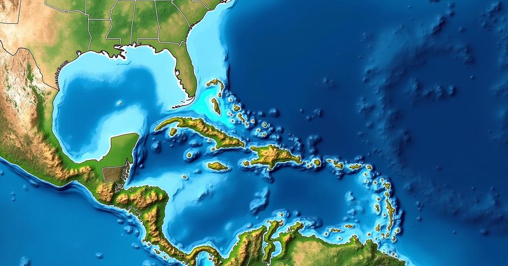
Bryan Norcross provided an update on the tropical disturbance Invest 94L, which is currently moving through the mid-tropical Atlantic under dry conditions. Development is unlikely in the short term, but could improve as it approaches the northeastern Caribbean by Friday, potentially impacting areas like Puerto Rico. Florida does not face immediate threats from this system due to prevailing weather patterns.
Bryan Norcross has reported that the tropical disturbance, designated Invest 94L, is currently traversing through the mid-tropical Atlantic, facing an atmosphere that is notably unfavorable for development due to extremely dry air, hindering the formation of thunderstorms. While immediate development is not anticipated over the next few days, forecasts suggest that as the system approaches the northeastern Caribbean islands by Friday, conditions could improve for potential development. This year, it is atypical for a tropical disturbance that originates from Africa to reach as far as the Caribbean during this time, primarily due to seasonal climatic changes, such as cooling ocean waters and increased hostile upper-level winds. However, a combination of warmer ocean temperatures and a unique high-pressure system located just north of the disturbance has enabled this unusual trajectory. Satellite imagery indicates that there are attempts at developing more substantial thunderstorms near the center, although the overall circulation remains somewhat deranged. The National Hurricane Center has assigned this system a moderate likelihood of evolving into a tropical depression as it nears Puerto Rico or adjacent islands, with computer models indicating a consensus on this course of action around Friday. Beyond Friday, lighter steering currents are expected to allow the system to drift close to Puerto Rico, the Dominican Republic, Haiti, and the southeastern Bahama Islands. Therefore, it is essential for those residing in these areas to remain vigilant, as the potential exists for a tropical storm or hurricane impact. Fortunately, there appears to be no immediate threat to Florida; a cold front currently positioned over or near South Florida, together with a related dip in the jet stream over the Bahamas, is likely to steer any tropical threats away from the state. Nevertheless, the situation remains fluid, and a clearer picture regarding the system’s development will emerge as its organization becomes more evident. It is crucial to approach predictions about the trajectory and strength of such systems with caution as they carry inherent uncertainties that may evolve rapidly.
The topic revolves around the monitoring of tropical disturbances, particularly those that may develop in regions like the Caribbean. Tropical disturbances are early indicators which can potentially evolve into significant weather systems, including tropical storms or hurricanes. The dynamics of atmospheric conditions, such as moisture levels and wind patterns, are critical in determining the likelihood of development in these disturbances. Typical patterns during this time of year often do not favor the progression of disturbances from Africa to the Caribbean, as cooler ocean temperatures and changes in wind patterns typically suppress their development during the fall season. However, unusual environmental factors can alter these patterns, necessitating close observation and forecasting to anticipate potential impacts.
In conclusion, the analysis by Bryan Norcross regarding the tropical disturbance Invest 94L highlights the complexities associated with tropical weather systems. While current atmospheric conditions are not supportive of immediate development, the changing circumstances as the system nears the Caribbean could foster significant development potential. Residents across the affected regions, particularly Puerto Rico and the neighboring islands, should remain informed and prepared for any potential changes in the system’s trajectory. Meanwhile, Florida appears to be safeguarded from immediate threats due to the influence of prevailing weather patterns. Continuous monitoring and updates will be essential as the situation unfolds.
Original Source: www.foxweather.com


