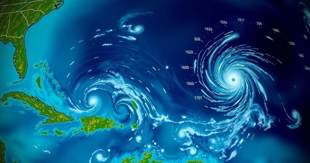
The National Hurricane Center is monitoring three tropical systems: a developing low-pressure area in the Southwestern Caribbean Sea with a 60% chance of forming a tropical depression, a trough near Puerto Rico with a 10% formation chance, and a system in the North Atlantic with a 20% chance of development. Significant rainfall is expected in various regions regardless of the development status.
As of Thursday afternoon, the National Hurricane Center is actively monitoring three distinct tropical systems situated in the Atlantic Ocean and Caribbean regions. The first system of interest is located in the Southwestern Caribbean Sea, where a broad area of low pressure is anticipated to develop over the next couple of days. This system may gradually strengthen, potentially forming a tropical depression over the weekend or early next week. It is projected to drift generally in a northward or northwestward direction over the central or western Caribbean Sea. Notably, irrespective of any further development, significant rainfall is expected in areas from Nicaragua extending southeastward to northern Colombia. As of the latest observations, the chance of formation for this system stands at 60%, a notable increase from the previous day’s estimation of 40%. The National Weather Service in Jacksonville underscored that threats emerging from the Northwest Caribbean Sea or the Southeast Gulf of Mexico are not atypical during this time of year. Historically, storms originating in these areas often traverse South Florida or Cuba before advancing across the Bahamas, exemplified by Hurricane Michelle in 2001. Nonetheless, deviations from this pattern have occurred with storms such as Hurricane Kate in 1985 and Hurricane Nicole in 2022. In addition to the Southwestern Caribbean system, focus is also directed toward a trough of low pressure near Puerto Rico, which is generating extensive cloudiness and showers over the Dominican Republic, Puerto Rico, the Virgin Islands, and the northern Leeward Islands. Slow development of this system is possible over the next two to three days as it shifts west-northwestward near the Greater Antilles. It is expected that this system will later merge with the larger low-pressure area over the Caribbean. Even in the absence of significant development, heavy rains are likely over the next few days from the northern Leeward Islands westward across Puerto Rico, Hispaniola, eastern Cuba, and into the southeastern Bahamas. The current probability of development for this system is assessed at 10% over the next 2-7 days. The third area being monitored is in the North Atlantic, where showers and thunderstorms have emerged in proximity to a storm-force non-tropical low pressure area, located approximately 550 miles west of the western Azores. However, further development into a subtropical or tropical cyclone is projected to be slow as the system advances eastward over the coming days. Currently, there exists a 20% chance of formation for this system over the next 2-7 days. It is important to note that the next named tropical cyclone will be designated Patty.
This article provides a timely update on the active monitoring of three tropical systems by the National Hurricane Center in the Atlantic and Caribbean regions. Understanding the typical development and movement patterns of tropical systems during this season is crucial, as these systems can significantly impact weather conditions across the surrounding areas. Historically, storms forming in the Northwest Caribbean Sea or Southeast Gulf of Mexico often track toward South Florida and Cuba before continuing toward the Bahamas, with few deviations from this trajectory. The assessments of formation probabilities provide critical information for preparedness measures in potentially affected regions.
In summary, the National Hurricane Center is monitoring three tropical systems, with heightened attention on a developing low-pressure area in the Southwestern Caribbean Sea, which has a 60% chance of forming a tropical depression. Other systems near Puerto Rico and the North Atlantic are also being observed, albeit with lower probabilities of development. Understanding these potential developments is critical for residents in affected regions to prepare adequately for any weather impacts that may arise.
Original Source: www.news4jax.com


